Design of automated geotechnical monitoring systems
Geotechnical monitoring is a set of measures that provides for field observations of the condition of the foundation (base) of buildings and structures for various purposes. The physical and mechanical characteristics of the soil are monitored (its density, moisture, looseness, temperature fluctuations), as well as the stability and integrity of nearby facilities located in the adjacent territory.
Such researches and observations can be fulfilled with the involvement of specialized personnel (surveyors, design engineers and designers). However, it should be understood that collecting and processing data is a labor-intensive process that will take a long period of time. During this period, the taken parameters may lose their relevance. Besides, it is impossible to guarantee the absence of inaccuracies and errors in calculations, and the monthly salary of a staff of qualified engineers is not by any means budgetary.
For reference: automated geotechnical monitoring eliminates the need for labor-intensive manual calculations, and data collection, analysis and processing are fulfilled automatically. Continuous readings from digital sensors (transducers) are taken around the clock, which makes it possible to timely detect deviations from the standards and take corrective actions for critical changes.
To order the design of automated geotechnical monitoring systems (AGTM), use the services of the Scientific and Technical Centre Integrated Monitoring Systems, LLC.
The development and implementation of AGTM is carried out by qualified specialists from the design department, surveyors and analysts, which makes it possible to obtain a unique product that is fully adapted to a specific facility.
Scientific and Technical Centre Integrated Monitoring Systems, LLC: automated monitoring of the foundations of buildings and structures of any type for industrial and civil purposes.
The development of AGTM includes the entire range of activities beginning from the formation of technical specifications ending with testing, setting up the hardware and software package and putting it into trial operation.
The required categories of measurements and research, methods for their control, the values of the parameters of the measured characteristics are identified, and adaptive sensors, instruments, transducers and auxiliary equipment are selected during the design process.
Wireless data transmission systems, tools for analyzing and processing the results obtained deserve especially close attention in this list.
AGTM aids to obtain accurate information regarding changes in temperature and humidity parameters of the soil and the current status of the foundation of a particular facility.
Having such readings, it is possible to monitor the dynamics of the behavior of foundations of buildings and structures, permafrost soils, as well as monitor geocryological processes that can lead to an emergency situation.
The following risks are also monitored and managed with the help of AGTM:
- formation of ground floodplains (water lenses), their flooding with groundwater;
- critical freezing/thawing of the soil, as a result of which it becomes excessively dense/loose, respectively;
- loss in stability of pile foundations and bearing parts;
- uneven shrinkage of the base (foundation) of a building structure associated with crumbling and soil instability;
- general soil degradation due to unfavorable climatic effects (especially relevant for regions with a temperate continental climate, where critically low and high temperatures occur).
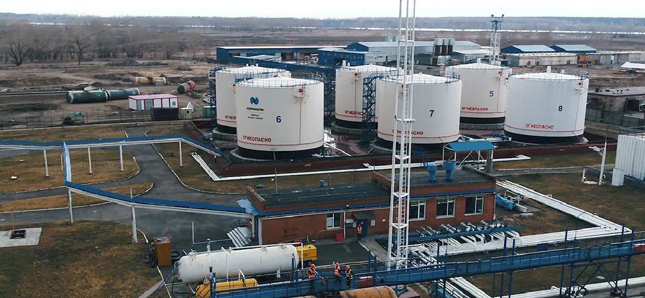
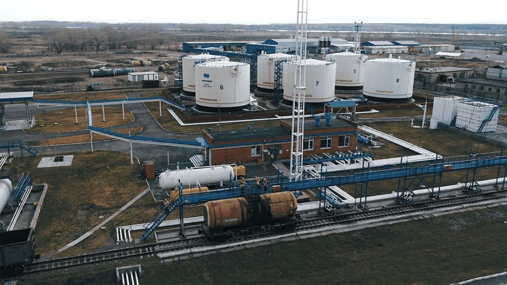
Important: ignoring such research can lead to the direst consequences, including the occurrence of emergencies and man-induced disasters. The development and implementation of AGTM are mandatory measures in the operating conditions of any large industrial enterprise, especially if it is located in an area with unfavorable geotechnical processes (seismic instability, high groundwater levels, etc.).
Call one of the representatives of our Scientific and Technical Center to receive comprehensive information if any controversial issues arise regarding the design and integration of AGTM, the software and hardware used and digital sensors.
They will give a competent answer to all requests.
Objectives, tasks and architecture of automated geotechnical monitoring systems, development and implementation timeframes, nuances regarding technical support; these are the key aspects that fall under their jurisdiction.
The Scientific and Technical Centre Integrated Monitoring Systems, LLC has the following advantages:
- When drawing up a project and implementing AGTM systems, the climatic characteristics of the regions are considered, which makes it possible to obtain the most accurate and reliable data.
- Further support of the monitoring system can be provided after its development, integration, testing and configuration.
- The design of AGTM systems is fulfilled for the facilities of various purposes, regardless of the category of complexity of its building structure.
- office 408, 4, lit. K, Fuchika St., St. Petersburg, 192102, Russia
- +7 (812) 775-10-82
- office@ntc-ksm.ru
- Opening hours: Mon-Fry с 9:00 AM до 06:00 PM MSK


